Morning and Sunset Photography at Longteng Bridge
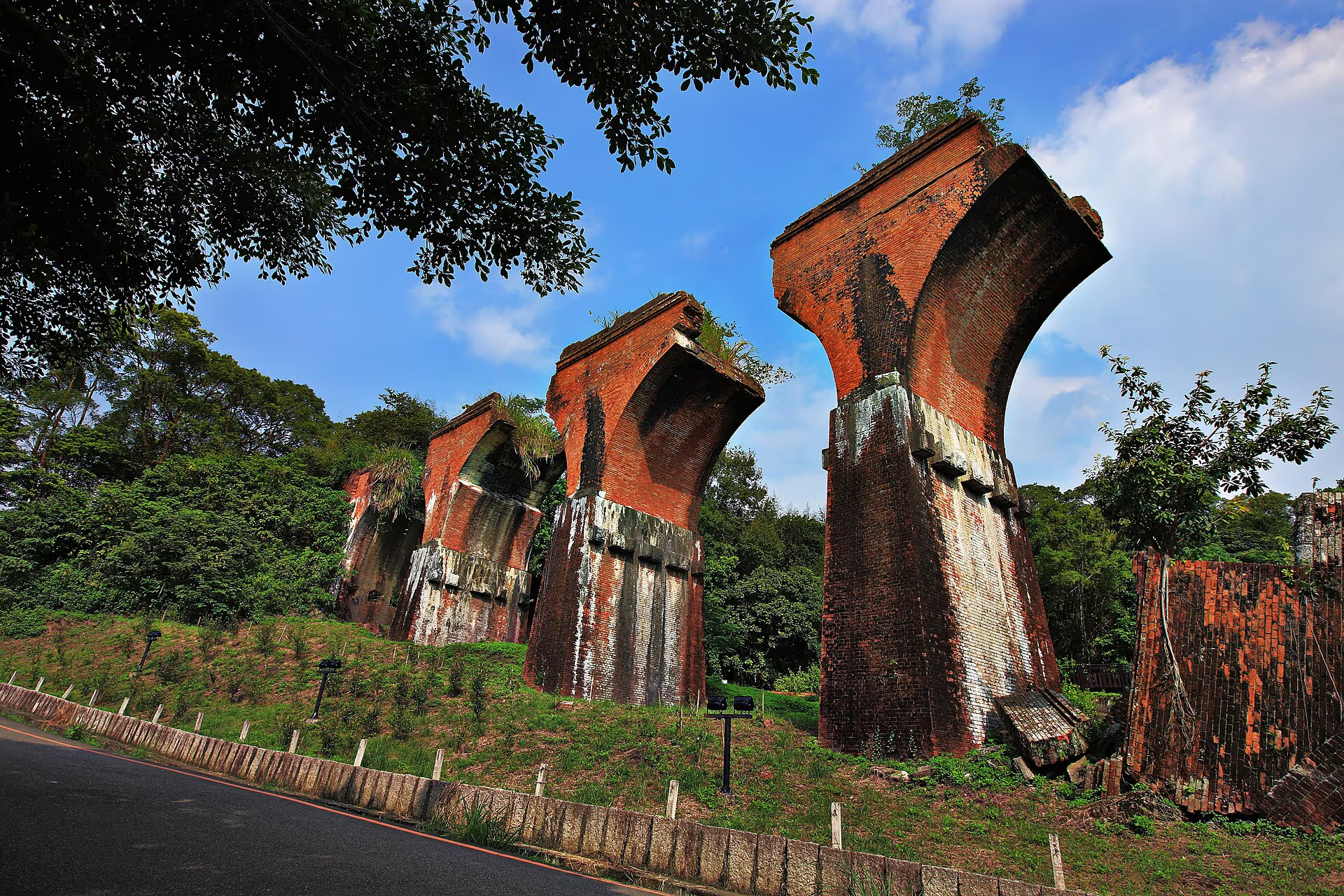
Morning side lighting and evening warmth can bring out the bridge's brick texture, though valley terrain and cloud may obstruct the sun.
Location
Sanyi Township, Miaoli County
Topic
Photography times
Navigation
Confirm destination
Before visiting
Check current notices
Study the light safely
Check the forecast and sunset time; use open viewpoints rather than climbing restricted piers for a particular angle.
Plan your way back
In the evening, consider road lighting, parking access and the return route; pack up while you can see clearly.
Keep to designated routes
Follow posted signs, markings and site directions.
Planning a morning or evening photo visit
Morning side light and warm evening colors can reveal the texture of the red brick. Hills, cloud and valley mist make the exact effect unpredictable.
Before you set out
Check weather and sunset timing. Photograph from permitted viewpoints; do not enter closed pier areas to line up the setting sun.
On-site timing and return travel
Allow time to locate your vehicle and follow the road back before darkness. Check the lighting along your route and finish packing while visibility remains good.
Frequently asked questions
Is a tripod necessary? A phone works well too. If using a tripod, keep pedestrian routes clear.
Do photographers need tickets? Outdoor heritage viewing is separate from the paid rail bike activity.
Which map pin should I use? Navigate to Longteng Bridge, not an unrelated rail bike departure point.
Related guides
Brick colors, shadows and time of day
The red-brick bridge changes in brightness and color temperature as the sun moves. Valley walls may block sunrise or sunset, so you cannot always reproduce the light seen in an online photograph at the same clock time.
A simple photography route
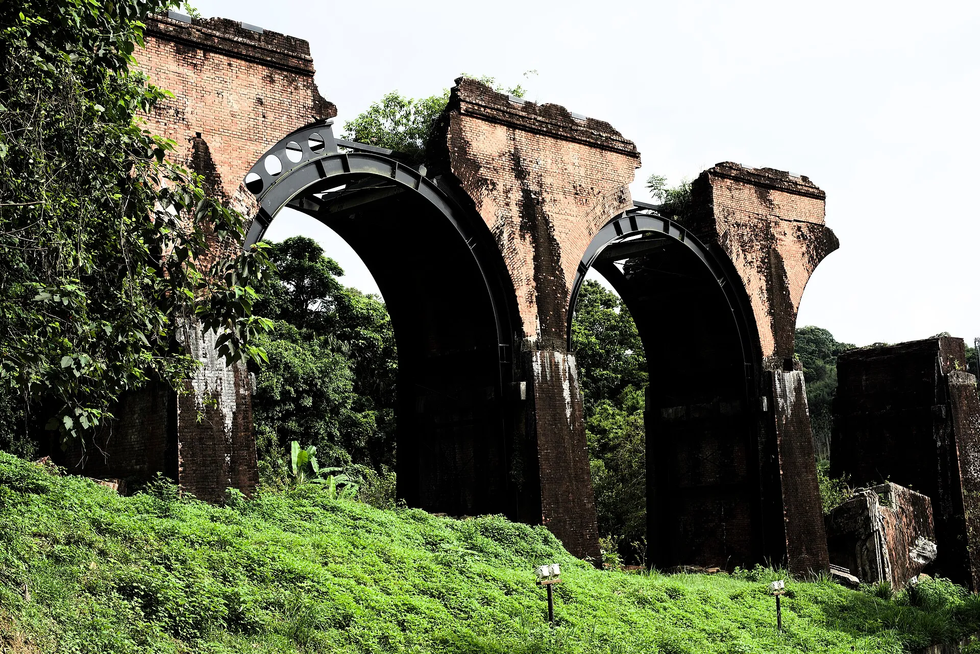
Start with a wide composition from the main open pedestrian area, then frame the arches with nearby trees and shadows. In the evening, leave while the road remains visible rather than searching for your car in a dark hillside parking area.
Equipment and conditions
A smartphone can document the structure. Long lenses and tripods are useful only if they do not block a path. Watch your footing and visibility after rain or in mist.
Explore the location from different angles
Plan your visit with Google Maps
Remains of Longteng Bridge (龍騰斷橋/魚藤坪斷橋)
Miaoli County Road 49, 367 Sanyi Township, Miaoli County, Taiwan
For official tourism information see Taiwan Tourism Administration (official tourism portal) . Map pins, reviews and business information change over time; follow road signs and on-site guidance for parking and walking routes.
Read next
- Seasons and climate Longteng Bridge Through the Seasons: Weather, Stream Conditions and Wildlife An overview of twelve months of typical temperatures, rain, humidity, creek conditions, wildlife and what to wear along the Old Mountain Line.
- Visitor services Longteng Bridge Visitor Facilities: Toilets, Parking, Food and Supplies Plan for toilets, parking, food, stays, convenience stores, fuel, EV charging, medical help, mobile reception and accessible family facilities along the Old Mountain Line.
- Science and responsibility Why Did Longteng Bridge Break? Earthquake Engineering and Visitor Responsibility Understand how brick arches failed in the 1935 earthquake and why protecting the remains and their wildlife habitats matters.